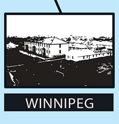
October 28th is National Internment Education Day, commemorating Canada’s first national internment operations of 1914-1920.
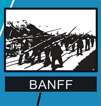
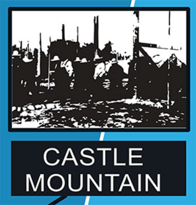
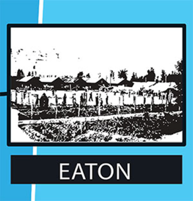
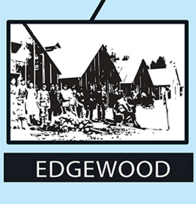
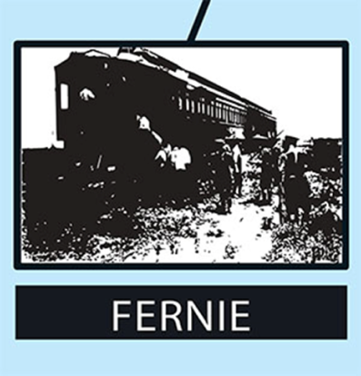
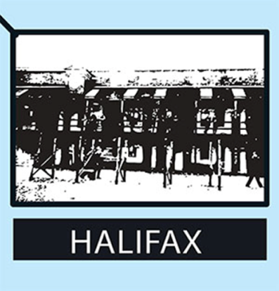
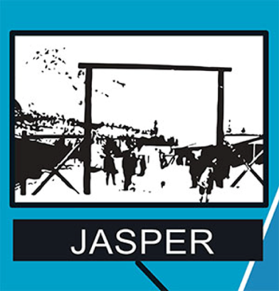
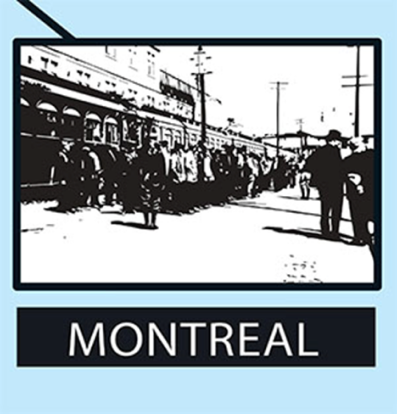
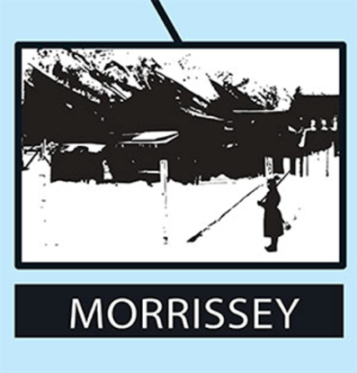
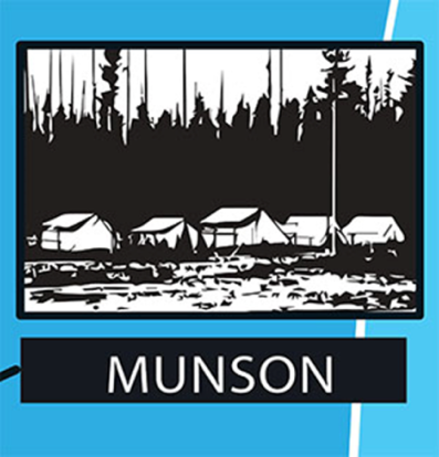
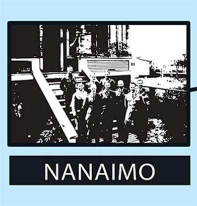
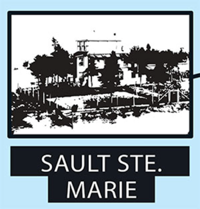
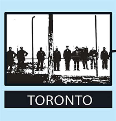
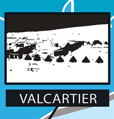
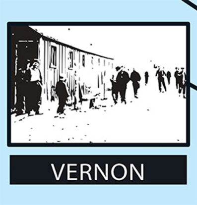
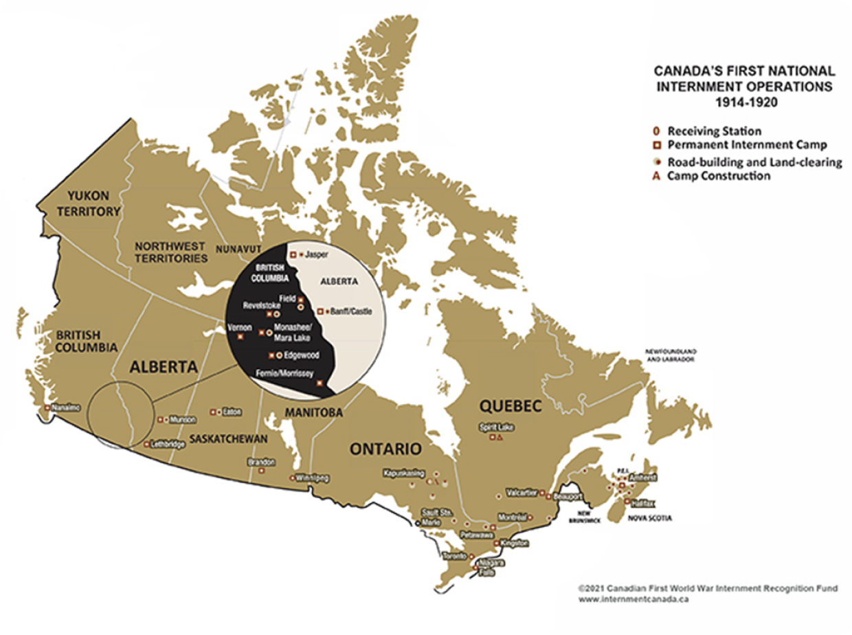
Between 1914 and 1920, 8,579 “enemy aliens” were incarcerated, among them women and children, as reported by Major-General Sir William D. Otter, the Officer Commanding these internment operations for the Department of Justice. The affected communities include Ukrainians, Alevi Kurds, Armenians, Austrians, Bulgarians, Croatians, Czechs, Germans, Hungarians, Italians, Jews, Ottoman Turks, Poles, Romanians, Russians, Serbians, Slovaks, Slovenes, among others of which most were Ukrainians and most were civilians who were interned or registered as “enemy aliens”. Over 80,000 others were also categorized as “enemy aliens” and obliged to report regularly to their local police authorities or to the North West Mounted Police. They were issued with identity papers that had to be carried at all times, the penalty for noncompliance being arrest and possible imprisonment.
In May 2008, representatives of the Canada’s Ukrainian community reached an agreement with the Government of Canada providing for the creation of the Canadian First World War Internment Recognition Fund (CFWWIRF) to support commemorative and educational projects intended to remind all Canadians about this episode in our nation’s history.
Since the inception of the CFWWIRF, the Endowment Council has awarded over $5 Million in grants. The approved grants have funded various projects, including: historical exhibits, books, commemorative plaques/statues, films, internee cemeteries, historical research, artistic endeavors, and virtual and augmented realty and educational resources.
The Endowment Council is pleased to offer its newest project, “Discovering Canadian WW1 Internment”, an augmented reality digital map to educate Canadians about this tragic page in Canada’s history, to schools, educators and museums across Canada.
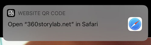
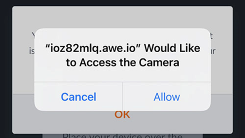
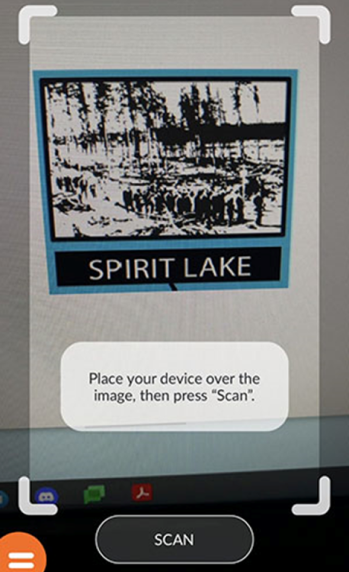
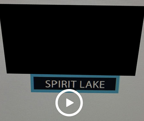
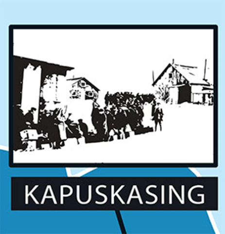
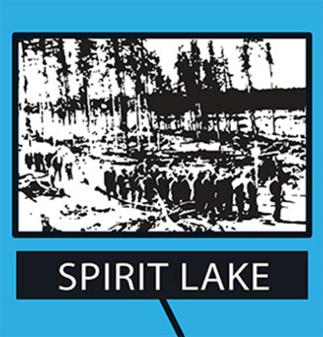
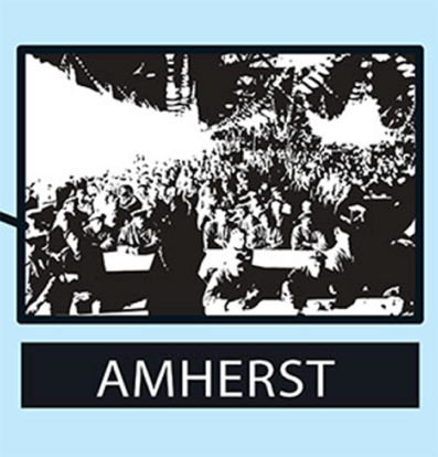
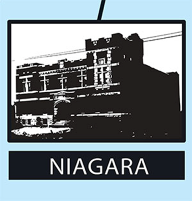
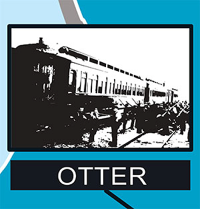
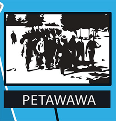
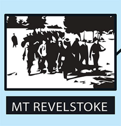
This project has delivered an immersive, accessible Augmented Reality (AR) exhibit that brings to life the history of Canada’s first national internment operations. 360 Story Lab has created an AR map of Canada printed on heavy vinyl. The map includes small visual icons, or “targets” that are recognized by the AR software program and activate the AR experience.
The Pilot was a huge success and launched to glowing reviews at the Bloor West Village Toronto Ukrainian Festival in September 2018. Users were excited to engage with the internment history in this new and innovative way, especially the younger more tech-savvy attendees at the festival.
Many of the users were pleasantly surprised that the CFWWIRF had created such a compelling cutting-edge exhibit, at the forefront of technological developments.
Several teachers have requested different sized maps to use in their classrooms and there were requests that versions of the AR project be made available in French. Some also expressed interest in adding more information to the maps, such as videos about the internment. Jeff Preyra, of 360 Story Lab stated, “The original design allows us to continue using the same AR map while incorporating updated technologies and fresh activations that can incorporate new materials either created through the CFWWIRF or discovered through new CFWWIRF funded research. For the Pilot we created 26 activations for all the internment camps/receiving stations across Canada.”
To obtain a free vinyl AR Map in English or French, please contact the CFWWIRF Program Manager,.
For more information on the Canadian First World War Internment Recognition Fund contact the Program Manager,, at [email protected] or toll free at 1-866-524-5314.